

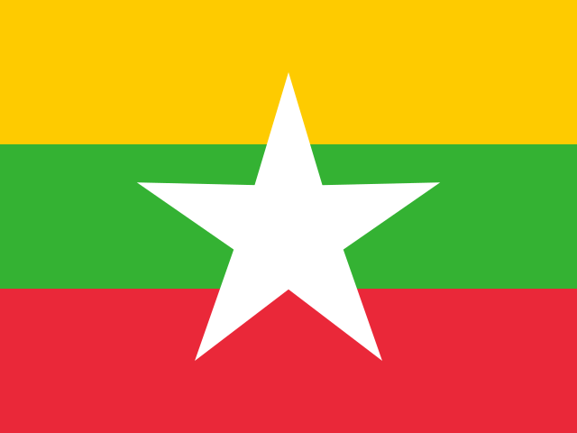
Myanmar

Asia
Rangoon

Population

57.93M

Area

676,578 km²

GDP

$74.08B

GDP Per Capita

$5,300

Quick FAQs

Region

Asia

Capital

Rangoon

ISO 3166

mm

Government Type

military regime

Language

Burmese (official) Learn more

ON THIS PAGE

About Myanmar

Burma, officially known as Myanmar, is a country located in Southeast Asia, bordered by Bangladesh, India, China, Laos, Thailand, and the Andaman Sea, covering an area of approximately 676,578 square kilometers. As of 2025, Burma has a population of over 54 million, with Burmese as the official language. The country features diverse geography including the Himalayan foothills, central plains, and extensive coastline, with tropical monsoon climate. Naypyidaw serves as the capital.

Burma’s economy is based on agriculture, natural gas, mining, and garment manufacturing, though it faces severe challenges from political instability following the 2021 military coup. The country is rich in natural resources including jade, rubies, natural gas, and teak, but international sanctions and internal conflict have disrupted economic development. The population faces significant humanitarian challenges, and the country’s future trajectory remains uncertain amid ongoing civil conflict and international isolation.

Geography & Environment

Geographic Location

Southeastern Asia, bordering the Andaman Sea and the Bay of Bengal, between Bangladesh and Thailand

Geographic Coordinate

22 00 N, 98 00 E

Geographic Area

676,578 km²

Climate

tropical monsoon; cloudy, rainy, hot, humid summers (southwest monsoon, June to September); less cloudy, scant rainfall, mild temperatures, lower humidity during winter (northeast monsoon, December to April)

Terrain

central lowlands ringed by steep, rugged highlands

Natural Hazards

strategic location near major Indian Ocean shipping lanes; the north-south flowing Irrawaddy River is the country's largest and most important commercial waterway

Natural Resources

petroleum, timber, tin, antimony, zinc, copper, tungsten, lead, coal, marble, limestone, precious stones, natural gas, hydropower, arable land

Geography Note

N/A

People & Society

Ave. Life Expentancy at Birth

67.1 years

Urbanization

32.10%

Population Growth Rate

0.69% (2025 est.)

Literacy Rate

41.4% (2023 est.)

Health Expendeture

9.1% of GDP (2021)

Education Expenditure

5.3% of GDP (2023 est.)

Languages

Burmese (official)

Religions

Buddhist 87.9%, Christian 6.2%, Muslim 4.3%, Animist 0.8%, Hindu 0.5%, other 0.2%, none 0.1% (2014 est.)

Government

Country Name

conventional long form

Union of Burma

conventional short form

Burma

local long form

Pyidaungzu Thammada Myanma Naingngandaw (translated as the Republic of the Union of Myanmar)

local short form

Myanma Naingngandaw

former

Socialist Republic of the Union of Burma, Union of Myanmar

etymology

both "Burma" and "Myanmar" derive from the name of the majority Burman (Bamar) ethnic group, with the term myanma, or "the strong," being the group's name for itself

Economy

Economic Overview

N/A

GDP Per Capita

$5,300

Unemployment Rate

0.9% (2025 est.)

Population Below Poverty Line

N/A

Industries

N/A

Agricultural Products

agricultural processing; wood and wood products; copper, tin, tungsten, iron; cement, construction materials; pharmaceuticals; fertilizer; oil and natural gas; garments; jade and gems

Location

Organizations Making an Impact in Myanmar

Discover the passionate teams and non-profits currently driving progress in this space
Find Nonprofits
0 nonprofit found (0 total)
Sorry. We have no Nonprofits for this country yet.
Load More Organizations

Give Your Mission a Global Stage

Join thousands of nonprofits on Missions for Good. Expand your digital footprint, share your story, and connect directly with passionate donors who are searching for causes just like yours.

Let’s Scale Your Impact Together.

Have a question about your Digital Marketing, SEO and Google Ad Grant?
Schedule a Strategic Call

Close Form