

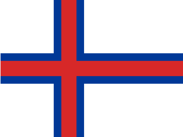
Faroe Islands
Population
Area
GDP
GDP Per Capita
Quick FAQs
Region
Capital
ISO 3166
Government Type
Language
ON THIS PAGE
About Faroe Islands
Faroe Islands is a self-governing country within the Kingdom of Denmark, located in the North Atlantic Ocean between Iceland and Norway, covering an area of approximately 1,393 square kilometers. The archipelago consists of 18 volcanic islands with rugged terrain, steep cliffs, and deep fjords, experiencing a cool, maritime climate with frequent fog and wind. Faroese and Danish serve as official languages, and Torshavn serves as the capital.
The Faroe Islands economy is heavily dependent on fishing and aquaculture, which account for the vast majority of exports and GDP. The territory has developed a modern seafood industry with salmon farming being particularly important. The Faroe Islands maintain a distinctive cultural identity with their own language, parliament, and traditions. The population enjoys a high standard of living with excellent healthcare and education. The Faroe Islands continue to balance their autonomy within the Kingdom of Denmark while developing their maritime economy.
Geography & Environment
Geographic Location
Geographic Coordinate
Geographic Area
Climate
Terrain
Natural Hazards
Natural Resources
Geography Note
People & Society
Ave. Life Expentancy at Birth
Urbanization
Population Growth Rate
Literacy Rate
Health Expendeture
Education Expenditure
Languages
Religions
Government
Country Name
conventional short form: Faroe Islands
local long form: none
local short form: Foroyar
etymology: the archipelago's name derives from the Old Norse name Faeroyar, meaning "sheep islands;" faer means "sheep," and -oyar means "islands"
Economy
Economic Overview
high-income Danish territorial economy; party neither to the EU nor the Schengen Area; associate Nordic Council member; very low unemployment; unique foreign ownership allowance in fishing industry; known salmon exporter; growing IT industries