

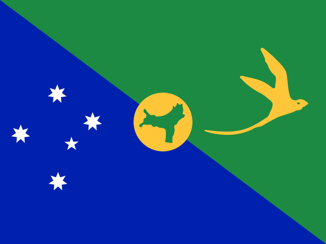
Christmas Island
Population
Area
GDP
GDP Per Capita
Quick FAQs
Region
Capital
ISO 3166
Government Type
Language
ON THIS PAGE
About Christmas Island
Christmas Island is an Australian external territory located in the Indian Ocean, approximately 2,600 kilometers northwest of Perth, covering an area of 135 square kilometers. The island features rugged terrain with steep cliffs and a central plateau covered by tropical rainforest. English serves as the official language, and Flying Fish Cove serves as the main settlement and capital.
Christmas Island is known for its unique biodiversity, including the famous annual red crab migration that draws scientific and tourist interest. The economy is based primarily on phosphate mining, which has been the main industry for decades, along with tourism and a limited agricultural sector. The island also hosts an Australian immigration detention facility. With its remote location and unique ecosystems, Christmas Island continues to be an important conservation area and territorial holding under Australian administration.
Geography & Environment
Geographic Location
Geographic Coordinate
Geographic Area
Climate
Terrain
Natural Hazards
Natural Resources
Geography Note
People & Society
Ave. Life Expentancy at Birth
Urbanization
Population Growth Rate
Literacy Rate
Health Expendeture
Education Expenditure
Languages
Religions
Government
Country Name
conventional short form: Christmas Island
etymology: named by English Captain William MYNORS for the day of its rediscovery, Christmas Day (25 December 1643); Europeans had sighted the island as early as 1615